Lower Witham Flood Resilience Project - Information Page
Overview
Welcome to the Lower Witham Flood Resilience Project!
This project information page is for all stakeholders with an interest in the future flood resilience of the Lower Witham.
Here you will find information about the Lower Witham Flood Resilience Project led by the Environment Agency, including our latest newsletter, project background, location, progress and importantly how our stakeholders can get involved.
Contents
What is the Lower Witham Flood Resilience Project?
The purpose of the Lower Witham Flood Resilience Project is to increase flood resilience in the catchment to benefit residential properties, businesses, farmland, and infrastructure.
The project will take a twin track approach, to repair and reinforce the most critical structures in the short term, sustaining the current arrangements for managing flood risk, while the longer-term strategic approach to a changing climate is developed.
We are currently undertaking an intensive collection, review and analysis of technical data such as hydraulic modelling, structure assessments of current banks, environmental and benefits assessments.
This will be supported by regular opportunities to engage with stakeholders via a variety of channels including a newsletter, project information webpage, and community drop-in events.
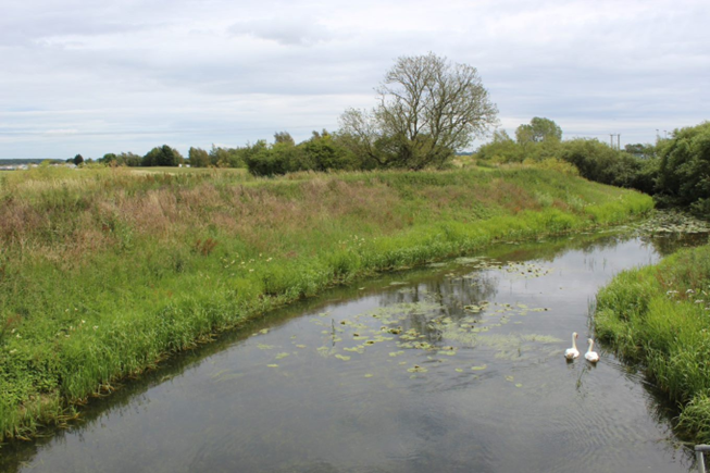
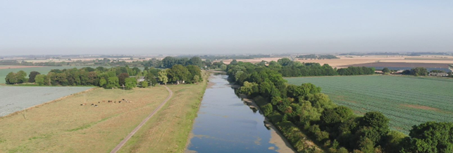
The Lower River Witham Catchment is a large area of drained marshland between Lincoln and Boston. Throughout history embankments have been created alongside watercourses, and drainage works undertaken in the catchment. These works have made the surrounding land highly productive for farming and allowed communities to develop.
Some of these embankments are now over 200 years old. The extent and frequency of flood incidents is putting these structures under increased pressure, and the local community and economy at risk.
In 1997, the Lower Witham Strategy recommended reinforcement of key embankments, whilst allowing some areas to flood, to relieve the pressure on the system. Since then, 30km of embankments have been reinforced, but repeated high flows have damaged more. The recommended storage options have not been implemented, due to availability of suitable sites and difficulties in meeting HM Treasury funding rules of the time.
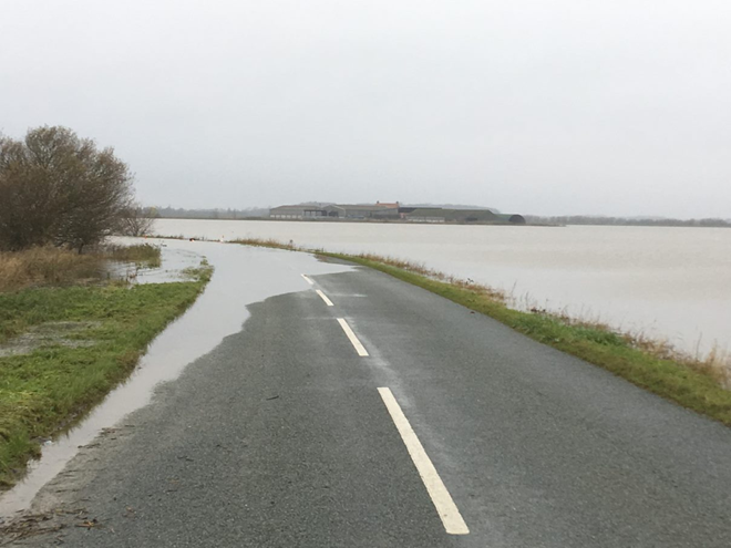
Flooding in 2019 has again highlighted the need to update the long-term plan to manage flood risk in the area.
Tell us!
We understand the importance of our stakeholders being informed and involved in the project and we value your feedback and local knowledge to help make the project a success.
Email us at our dedicated project email address: lowerwitham.floodresilience@environment-agency.gov.uk
You can see our latest stakeholder newsletter here:
To be added to our mailing list email us at lowerwitham.floodresilience@environment-agency.gov.uk
What area does this project cover?
This project runs from Stamp End in Lincoln to Grand Sluice in Boston including tributaries of the Witham like the Carr Dyke and Delphs, the Barlings Eau, Snakeholme Drain, Duckpool Catchwater, Billinghay Skirth, and the Kyme Eau.
For us to understand the flood risk on the Lower Witham, the area has been divided into a series of flood compartments. These are areas that will flood independently of each other due to the presence of the embanked watercourses or higher ground. Breaking down the catchment allows us to look at what is at risk in each compartment and understand which structures work together to protect the compartments.
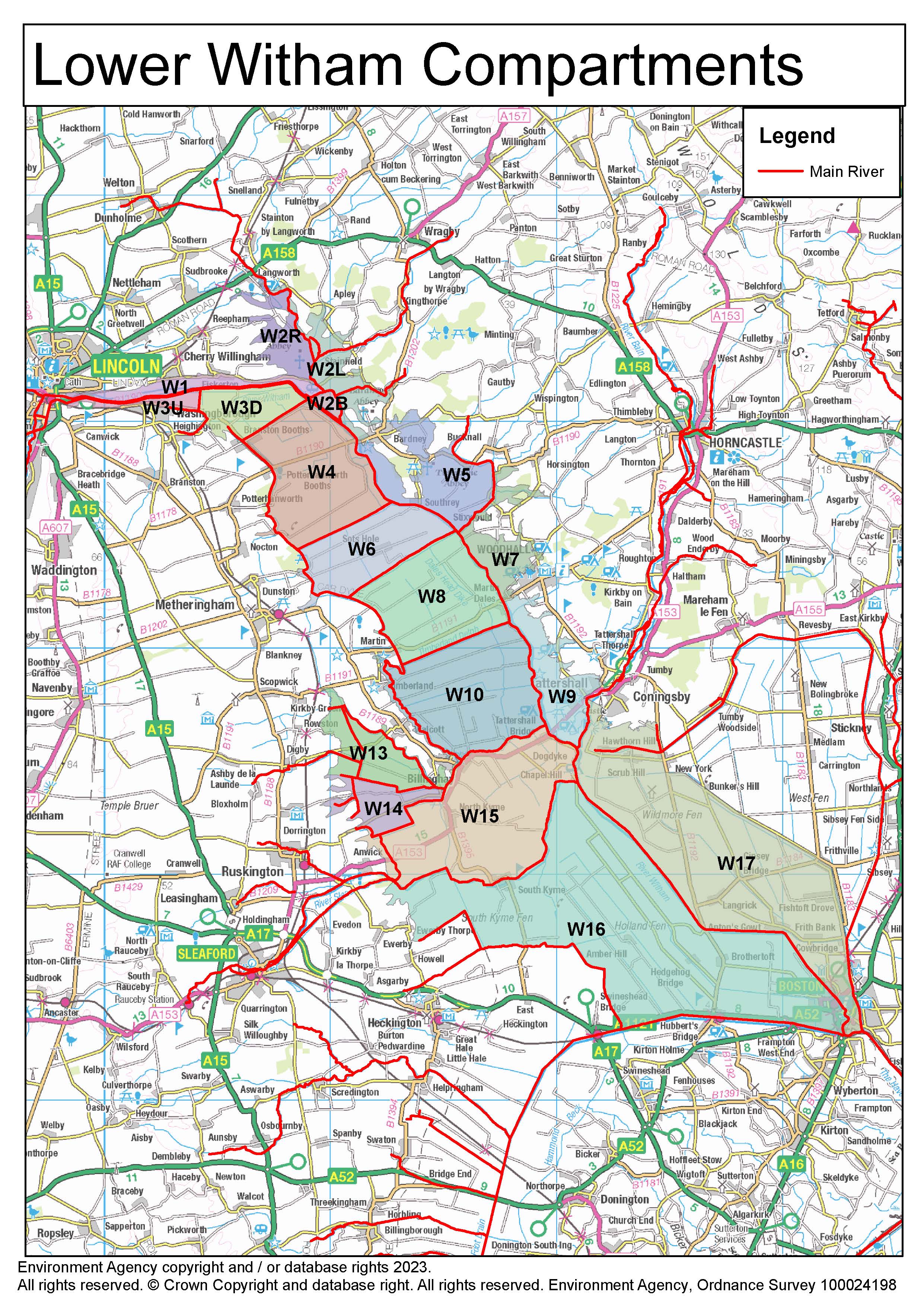
Map displaying project area and the flood compartments of the Lower Witham catchment.
More Information
The Environment Agency are working with Arup and Jacksons to deliver this project. Working with local stakeholders, we aim to utilise the community’s local knowledge and aspirations for the area to develop a sustainable flood management plan with the long-term goal of improving resilience to future flooding.
Contact us direct via the Team's dedicated email address: lowerwitham.floodresilience@environment-agency.gov.uk
More Information
The project will take a twin track approach, to repair and reinforce the most critical structures in the short term, sustaining the current arrangements for managing flood risk, while the longer-term strategic approach to a changing climate is developed. It is recognised that changes to the way that we currently manage flood risk will take longer to agree and implement, and we want to ensure that structures will last until new arrangements are in place.
Phase One
A programme of the most urgent work will take place to sustain current assets, improve catchment resilience and continue to provide flood protection for communities and businesses in the Lower Witham area. This could include repairs and refurbishment of existing assets, including embankments and control structures.
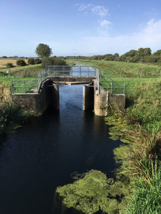
The assets currently included in Phase 1 are Grand Sluice at Boston and various embankments along the River Witham and its tributaries. The Grand Sluice was built over 250 years ago to prevent tidal water entering the Lower Witham. It has been refurbished a number of times during its working life, most recently in the 1980s, and is now due for another upgrade in the next few years.
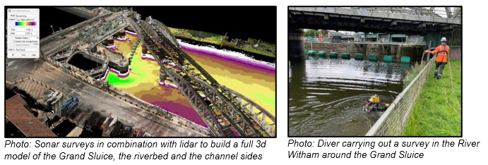
In early June, dive surveys were carried out across the sluice to understand its state of repair. It’s important that the Environment Agency doesn’t just inspect what is happening above the water line but below it too.
By bringing in divers, we can get additional surveys looking at parts of the sluice that wouldn’t normally be visible from the land. They can also better understand the River Witham too.
We also used sonar surveys in combination with lidar data to build a full 3d model of the Grand Sluice, the riverbed and the channel sides. The screenshot below shows the sonar survey combined with lidar data to build this model. The dive survey supplements this.
All this information will be used to better inform the work on the Grand Sluice before it gets underway next year.
Phase Two
Phase two will be to update the Lower Witham Strategy
Phase Three
Phase Three will be to deliver works recommended by the Strategy Update.
More Information
Contact Us
Email: lowerwitham.floodresilience@environment-agency.gov.uk
Complete our survey: https://consult.environment-agency.gov.uk/lincolnshire-and-northamptonshire/lower-witham-flood-resilience-project-survey
Twitter: @EnvAgency
Environment Agency Customer Contact Centre: 03708 506 506
To report an incident (24-hour service): 0800 80 70 60
Flood warning information - Flood line: 0345 988 1188
Events
-
Grand Sluice drop-in event
From 9 May 2025 at 12:00 to 9 May 2025 at 16:00Location: Fenside Community Centre, Taverner Road, Boston PE21 8NL.
An opportunity to speak to our project team about what we’re doing and what the Grand Sluice refurbishment works will look like. The works have been planned in a way to minimise possible disruptions to daily life and there will be the opportunity to find out more about this. -
Grand Sluice drop-in event
From 14 May 2025 at 09:00 to 14 May 2025 at 15:00Location: Boston Market, Boston, Lincolnshire PE21 6NF.
An opportunity to speak to our project team about what we’re doing and what the Grand Sluice refurbishment works will look like. The works have been planned in a way to minimise possible disruptions to daily life and there will be the opportunity to find out more about this.
Audiences
- IDBs
- Local authorities
- District and parish councils
- Environmental bodies
- Land owners
- Farming associations
- Drainage associations
- RFCCs
- Elected representatives, including MPs
- Water companies
- Members of the public
- Recreational and commercial river users
- Community groups
- Flood action groups
Interests
- Business and industry
- Flood management
- Fishing and boating
- Water resources
- Water quality
- Drought
- Habitats and wildlife
- Environmental permitting
- Specific projects, issues, or activity pages

Share
Share on Twitter Share on Facebook